Moving large critical infrastructure towards
Predictive Maintenance
Redetect AI™ - the safest choice
for inspecting assets
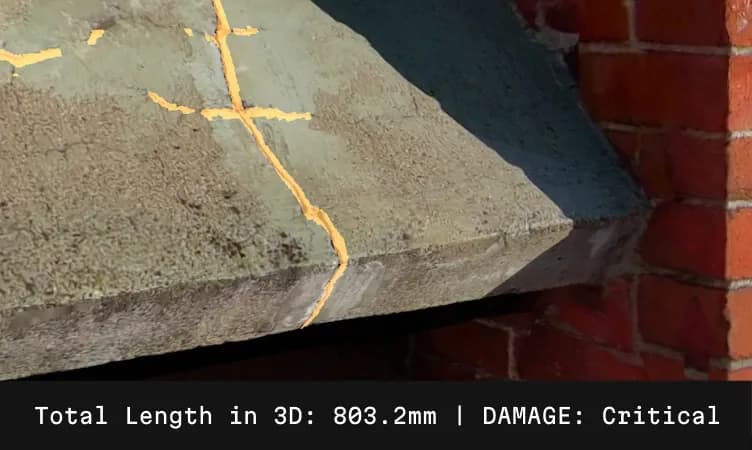
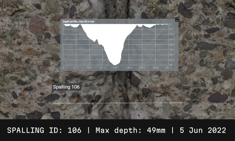
3D vectorized segmentation of damages

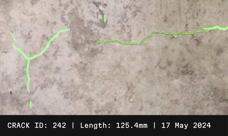
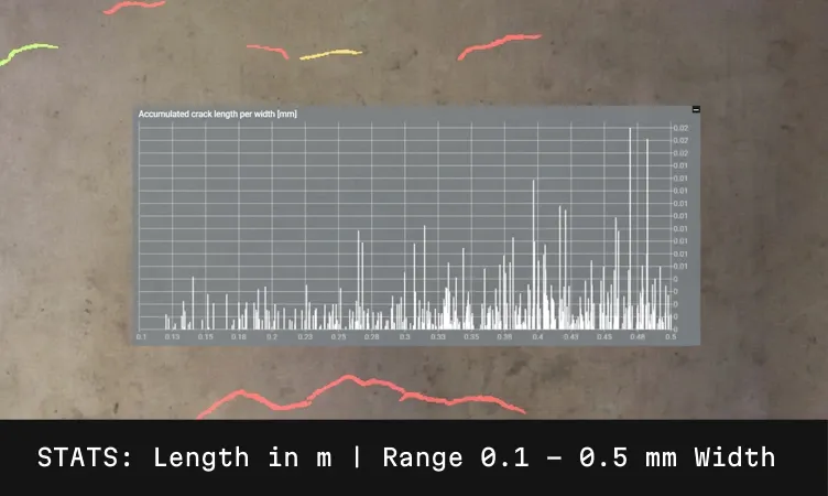
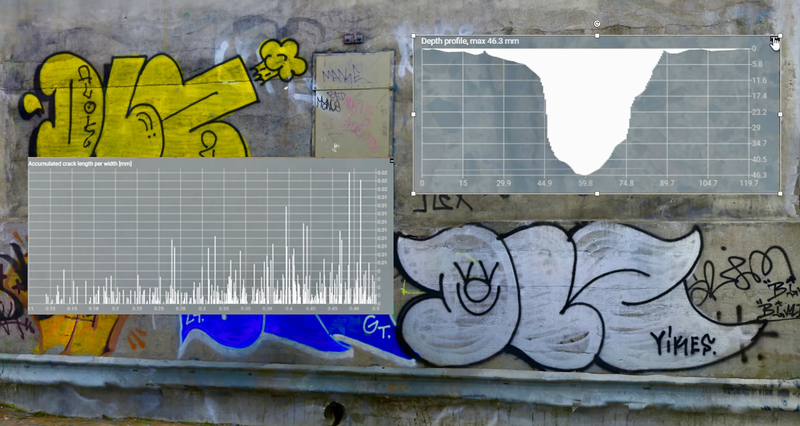
Automatic identification of cracks down to 0.2 mm

Flexible and scalable: high resolution over entire large objects OR variable resolution on different parts of the concrete

Track changes over time through incremental input of imagery

Results delivered in the cloud or on premises, export to common formats
Everything you need to know about Spotscale's products and services
Everything you need to know about Spotscale's products and services

Redetect AI
Advanced Image-Based Inspection for Longer Lifespan and Safer Infrastructure. Redetect AI™ transforms high-resolution images of concrete assets into valuable insights about condition, renovation needs, and the progression of damages over time. With a cutting-edge digital inspection solution, Spotscale offers a comprehensive workflow platform for concrete consultants and experts, enhancing their services towards property owners and infrastructure managers.

How it works
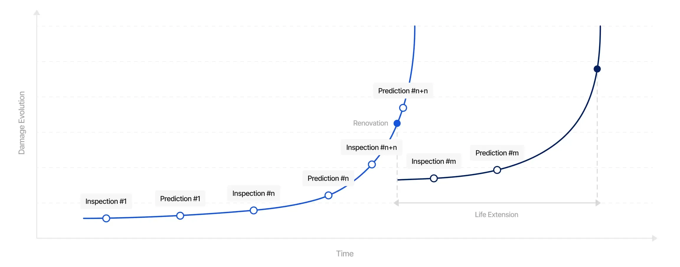
Redetect AI™ uses photogrammetric AI imaging technology based on overlapping images of entire concrete surfaces reaching an automatic damage identification down to 0.2 mm. This precision enables early detection of damage and helps determine the need for further destructive testing or repairs. By continuously uploading time-stamped image data, you can track changes over time, laying the foundation for predictive maintenance and preventing costly damage. Collaborate around your digital asset in full 3D or export your damage data to any format of your choice to produce your repair plans in your CAD/BIM-software.

Who is it for?
The product is designed for consultants, engineers, and experts working with concrete structures and other physical infrastructure. It provides asset owners and infrastructure managers with a powerful tool to monitor the condition of critical assets and optimize maintenance planning to save costs while repairing the right surfaces at the right time.
Looking for new methods to analyze concrete? Contact us for a 20 minute demonstration over a video call!
Capture
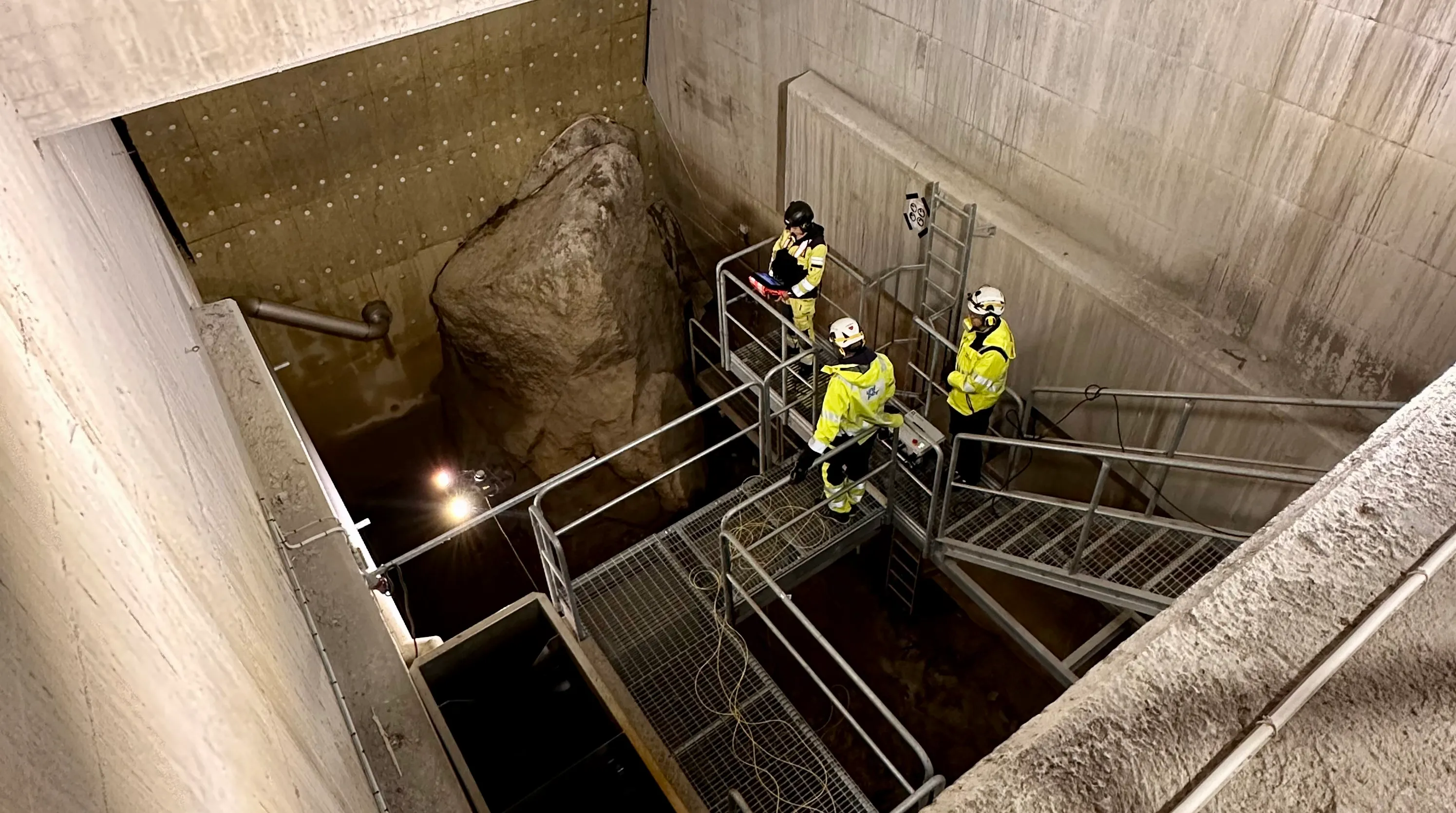
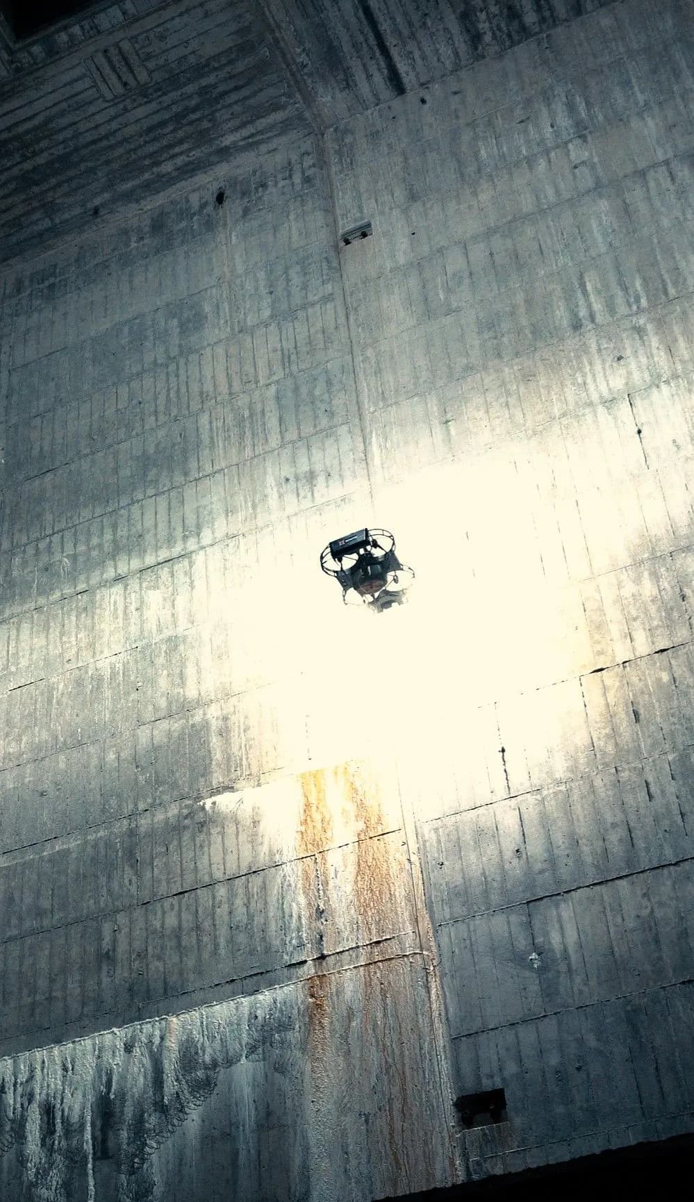
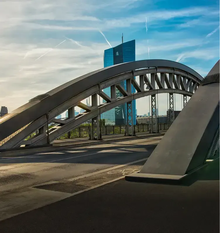
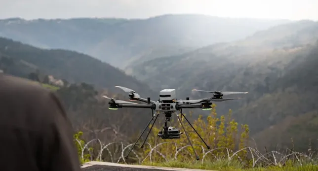
Whether in confined spaces with poor lighting or outdoors, we provide the methods and training needed for you to capture the right data. We advise on suitable hardware and techniques. Through our extensive network of skilled photographers and drone operators, we can arrange data capture for you or help you establish the right internal processes and organization. We support equipment from the most advanced drone cameras to the simplest hand-held devices.
Process
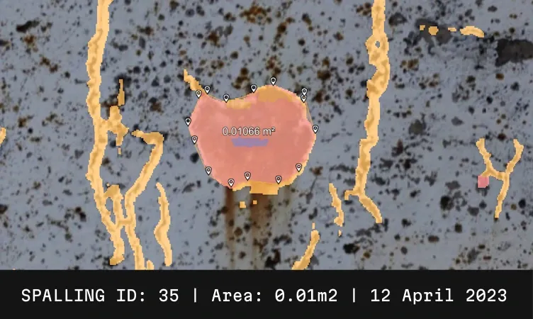
The captured data is processed on our proprietary platform using advanced 3D reconstruction algorithms and automated image-based analysis. We cater to your needs for protected global or domestic servers. The AI segmentation technology identifies cracks, spallings, and exposed rebars with exceptional accuracy as 3D vectorized objects with unique IDs for traceability.
Analyze
The results are presented in full resolution directly in your web browser. Our platform offers powerful tools to visualize, measure, track, report, and collaborate on the findings. Depending on your security classification, data can be stored securely in our cloud or on your premises. Export and share to other platforms.
Why digital inspection?
Human vs robots
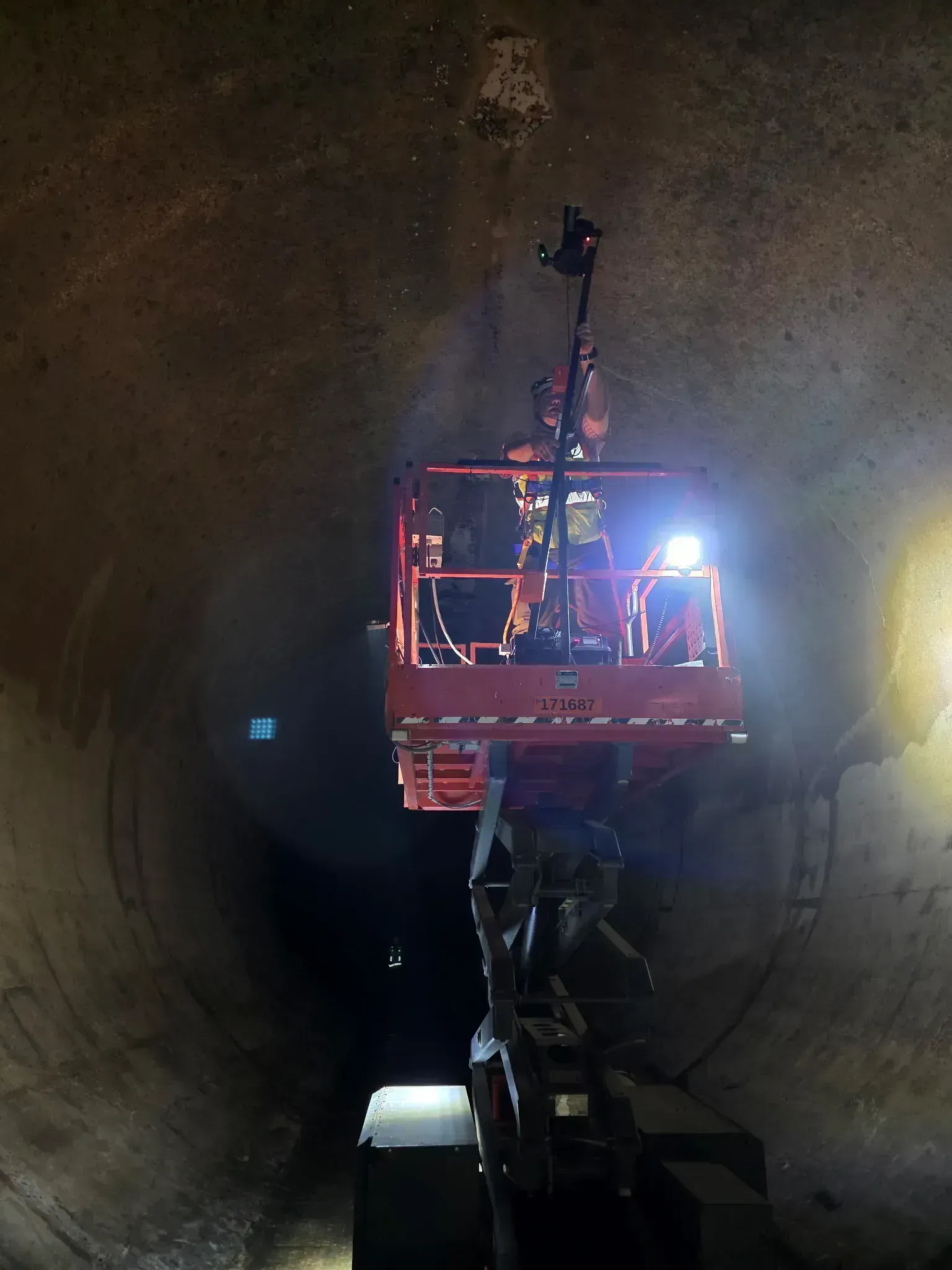
The camera is often mounted on a robotic platform allowing for safe access to all kind of places. While manual:
Dangerous to rope access, most likely climbed by climbing experts and not concrete experts
Expensive and time consuming to build scaffolding or skylifts
Expensive to cancel activity such as traffic or production and capture time is thus limited
Some areas are hazardous and dirty for humans to access
The problem: Concrete -not that everlasting after all
In the early 1900s, reinforced concrete was considered a material with no or little need for maintenance and as good as everlasting. This has, however, since proven to be untrue. As a result, Europe is now home to an incredible amount of defective concrete infrastructure and damaged buildings. The growth of damages is exponential. A renovation at the right point in time will prolong the lifetime of the asset and save cost for the owner.
Customer reviews
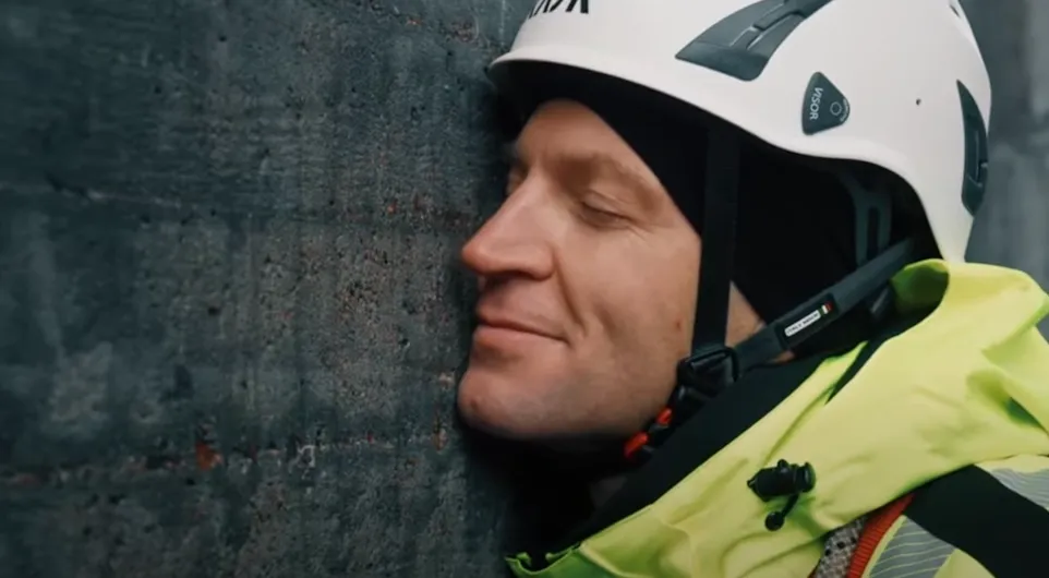
“Do you manage concrete facilities that require high levels of personal safety and operational avaliability? AI technology is here to help you.”
Pär Ljustell, PhD Kiwa Sweden
Recent case studiesAdvanced concrete structure inspections
About us
Our vision is to make the digital copies of the built world more intelligent in order to increase longevity, safety and value of physical infrastructure. By ensuring safer work environments and more durable structures, Spotscale contributes to sustainable urban development and resilient infrastructure.

Our current focus lies in the field of structural health monitoring (SHM) as the visual inspection component of non destructive testing (NDT). We are currently working on integrating NDT-data from other sensors and work closely with Testing-, Inspection- and Certification Companies (TIC) to ensure the quality of the damage analytics from a certification perspective.

Spotscale was founded by Ludvig Emgård in 2013 with the vision to develop the most advanced technology to map and visualize built structures. Since then, our team of computer scientists, computer vision engineers and visualization specialists have developed a proprietary pipeline for photogrammetic reconstruction, machine learning segmentation in 3D and a web visualization platform. We are dedicated to quality throughout the whole process, from capture to analytics to give the users of the tools and the owners of the infrastructure the best they can get.

