Someone asked me “Why should I use Spotscale’s 3Dmodels and not use Google maps in 3D?” – Great Question!
There are a number of good reasons. Let me explain and show you why.
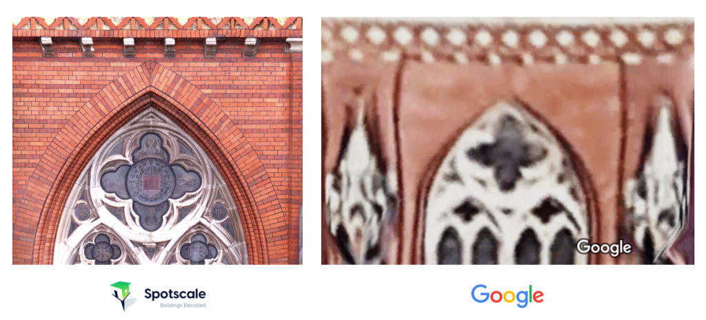
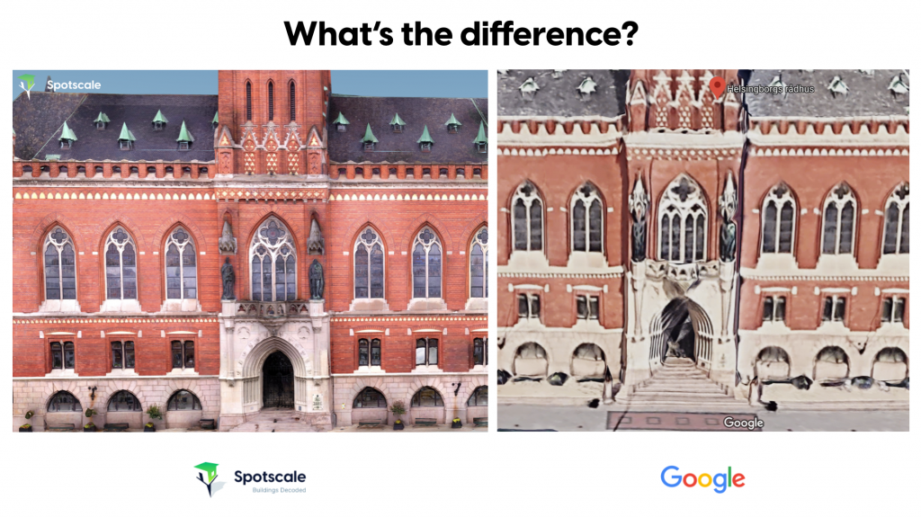
- Quality of imagery and 3D models give you the option to inspect and measure your property in very high detail.
- Ownership of data. You can add and save information to your model. Think of it as “Notes in 3D”. It can be info about what has been done or what needs to be done. You can share it by just sending a link to the 3D model with your 3D Notes.
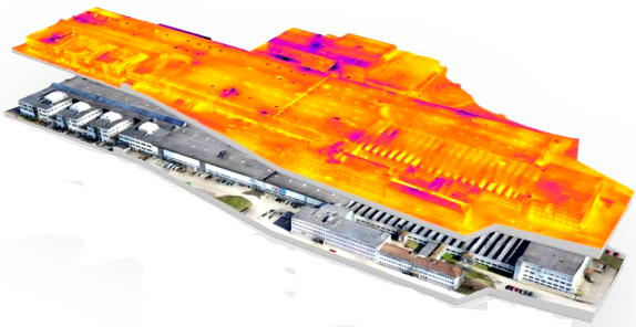
- Instant Quantification. Spotscale decodes your building and instantly measure facade area, roof area, windows etc. This gives you a great benefit if you are doing renovations. All your contractors can offer a quote based on the same verified information.
These are just some of the benefits. If you are interested you can read more here. /what-you-get/
But it is usually better to let an image show what I mean.
Contact me if you are interested to learn more about what Spotscale can do for you!

 Explore in 3D